


MAGE by NGA app for iPhone and iPad
Developer: National Geospatial-Intelligence Agency
First release : 07 Jun 2016
App size: 29.63 Mb
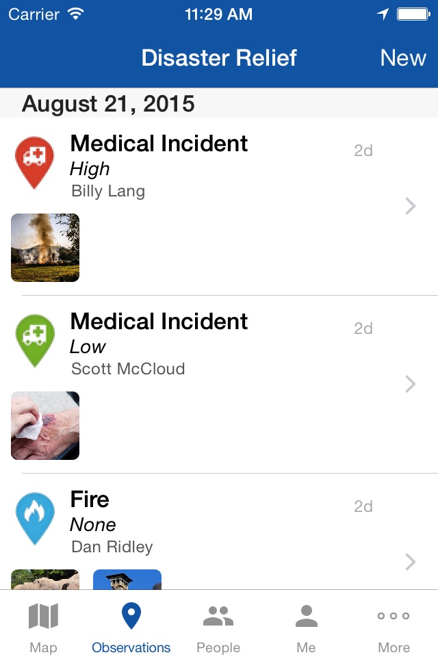
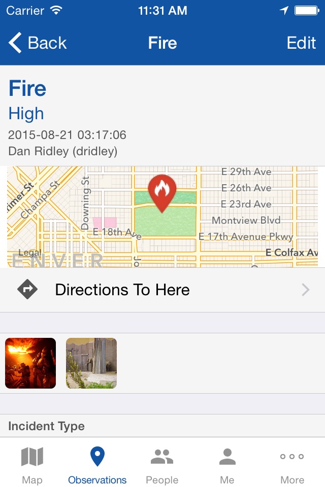
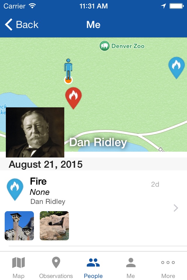
The Mobile Awareness GEOINT Environment, MAGE, provides dynamic capabilities for mobile situational awareness. Originally developed to support first responders deploying in the event of natural disasters, the MAGE app on your mobile device allows you to create geotagged field reports and observations that contain media such as photos, videos and voice recordings and share them instantly with other members of your team.
Using the GPS in your mobile device, MAGE can record user locations in real time. Your locations can be automatically shared only with the other members of your team. The app remains functional if your mobile device loses its network connection and will upload its local content when a connection is reestablished.
Geospatial data layers, including map tiles and vector data, can be stored on your mobile device and are available at all times. When disconnected from the network, MAGE will use local data layers to continue to provide relevant geospatial information to teammates. MAGE is customizable and can be tailored to your teams situation.
The National Geospatial-Intelligence Agency is releasing this application to the general public to increase the impact of government investments in unclassified mobile initiatives. MAGE is not hosted or managed by NGA, in order to use it you will need to get access to your agency or managing entities server.
Note: Continued use of GPS running in the background can dramatically decrease battery life.